Welcome to UMP Zvataida Council
We are dedicated to serving our rural community through effective governanc,sustainable development, and comprehensive social services that enhance the quality of life for all residents.UMP District lies in the north eastern part of Zimbabwe,stretching for about 120km in a Southwest-Northeast direction.UMP basically covers land lying between two perennial rivers,the Mazowe and its tributary, the Nyadire. The districts's entire 2660km2 is wholly communal land and is currently divided into seventeen(17) administrative wards. Uzumba Maramba Pfungwe Zvataida Rural District Council was formed in 1982 according to the RDC Act(Chapter 29:13). Mazowe River marks the boundary between UMP and Rushinga and Chaminuka districts to the north and west respectively. On the eastern sides of Nyadire lie Mudzi(northeast ) and Mutoko (southeast). To the south of UMP(boundary Muhume River) lies Murewa District
Inline with achieving Vision 2030,UMP RDC offers the following investment opportunities while embracing the ease of doing business for timeous service provision
Location Details
UMP Zvataida Rural District Council is situated in a vibrant community dedicated to sustainable development and public service
Address
123 UMP Zvataida
Rural District Council
Stand District Council
Mutawatawa
Hours
Monday to Friday 7:30 - 16:30
0ur Projects
Empowering community through sustainable development and resource management.
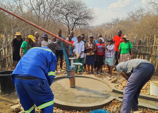
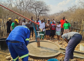
Water Initiatives
Improving access to clean and safe water services.
Safety Programs
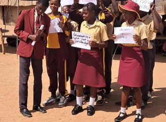
Enhancing public security through community engagement initiatives.
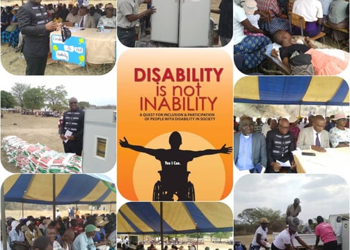
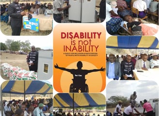
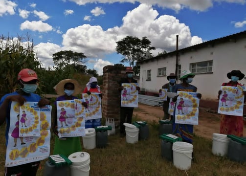
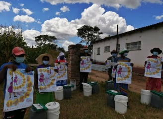
NFIs beneficiaries